
Workshop Details
Voxel-Based Modelling and Analysis for Urban Environments
From Volumetric Data to Intelligent Urban Voxel Models
Voxels have long been used to model and analyse volumetric phenomena across medicine, geology, forestry, marine science, and climate research. More recently, voxel-based approaches have gained significant attention for processing laser-scanned data, supporting 3D reconstruction, change detection, and monitoring.
Despite their potential, voxel approaches have rarely been adopted for large-scale urban modelling. A major challenge is the sheer volume of data generated by voxel representations. This becomes particularly important when voxelising existing urban models, which are typically maintained as boundary representations such as CityGML and IFC. The voxelisation process must preserve not only geometric detail, but also object connectivity, topology, semantics, and model validity.
This workshop introduces a new approach to multi-resolution voxel modelling and analysis, providing generic voxelisation and analytical tools that efficiently handle large, complex urban datasets.
The workshop is organised in two parts:
- Concepts and Challenges: We will introduce the key issues involved in creating voxel-based urban models, including resolution, data volume, geometric detail, connectivity, and model validity. We will then briefly present our approach to a multi-resolution voxel database and a set of generic analytical functions designed for large urban datasets.
- Demonstrations and Real-World Applications: The second part will demonstrate the voxelisation and analysis tools currently available, using examples from several research projects and real-world urban datasets. Participants will see how multi-resolution voxels can support efficient 3D data integration, querying, and spatial analysis at urban scale.
Whether you work with 3D city models, BIM, point clouds, LiDAR, digital twins, or spatial analysis, this workshop offers an opportunity to explore how voxel representations can extend the capabilities of conventional urban mode.
The workshop is supported by Voxelmates Pty Ltd.
Workshop Chairs
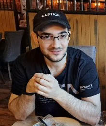
Victor Peychev
Victor Peychev is a Computer Science graduate from the University of Surrey with experience in data processing, artificial intelligence, and software development. His work focuses on 3D modelling and geospatial technologies, particularly developing tools and graphical user interfaces for voxel-based 3D environments. He has worked with diverse 3D data formats, exploring ways to process, visualise, and combine complex spatial datasets. Victor develops practical software solutions that connect computer science with emerging 3D and geospatial applications.
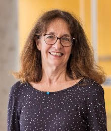
Prof. Sisi Zlatanova
Dr. Sisi Zlatanova is a SHARP Professor at UNSW Sydney and Head of the GRID Lab, internationally recognised for her expertise in 3D modelling and spatial information technologies. Her research spans BIM–GIS integration, 3D indoor modelling, voxel representations, spatial data management, AI-supported simulation, and Spatial Digital Twins,. Dr. Zlatanova has authored more than 650 scientific publications and edited 23 books, serves as Associate Editor for leading journals, and is ranked among Stanford University’s top 2% most-cited scientists worldwide.