Panel Details
Panel Session: Convergence or Bridges?
GeoAI-Ready Digital Twins Across CityGML, I3S / 3D Tiles, Gaussian Splats, OpenUSD and Data Spaces
A city in 2026 exists simultaneously as a semantic CityGML model, a streaming I3S or 3D Tiles scene, a Gaussian splat reconstruction, an OpenUSD composition, a GeoParquet table and Data Spaces — and increasingly as input to AI systems that expect to reason over 3D content directly rather than over pictures of it. The question this panel puts to the community is whether that plurality is a problem to be solved by convergence, or a permanent condition to be managed by bridges.
There is more convergence than there used to be. glTF has quietly become a shared geometry substrate beneath 3D Tiles 2.0, I3S and much of the splat tooling; KHR_gaussian_splatting is advancing at Khronos with cross-vendor implementers; a native geospatial coordinate reference system proposal has been accepted into the OpenUSD (AOUSD) Geometry Working Group; GeoParquet is doing for cloud-native vector what tiling did for 3D. At the level of triangles and points, these ecosystems are closer than at any time in the past decade.
Data Spaces add a complementary dimension to this debate: interoperability is not only about how urban objects are represented, but also about how distributed data and digital twin assets are discovered, accessed, governed and combined across organisational boundaries. They provide the trust, sovereignty, usage-policy and provenance layer through which heterogeneous CityGML, 3D Tiles/I3S, OpenUSD, GeoParquet and emerging 3D representations can participate in federated digital twins, raising the question of whether Data Spaces could become the governance bridge that allows technical plurality to persist while making GeoAI-ready urban data usable at scale.
But geometry was never the hard part. What decides whether these representations genuinely interoperate lies beyond the render: semantics, coordinate reference systems, provenance, temporal lineage and stable object identity. Those are precisely the properties that do not survive most format conversions today — and precisely the properties that GeoAI, land administration and any legally meaningful twin depend on. On this reading, a bridge is defined not by what it transports, but by what it preserves.
Bringing together standards leads from semantic city modelling, 3D cadastre and land administration, geo-visualisation and industry, the panel will test both positions: where convergence is real and worth pushing, where it is a mirage, and what a well-specified bridge would have to guarantee. The aim is a concrete, shared view of what the research and standards communities should prioritise next, so that digital twins are not merely convincing to look at, but machine-readable, legally meaningful and GeoAI-ready at scale.
Panel Moderator
Assoc. Prof. Mila Koeva
Panelists
Prof. Thomas Kolbe
Prof. Volker Coors
Prof. Peter van Oosterom
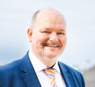
Prof. Thomas Kolbe

Prof. Dessislava Petrova-Antonova